
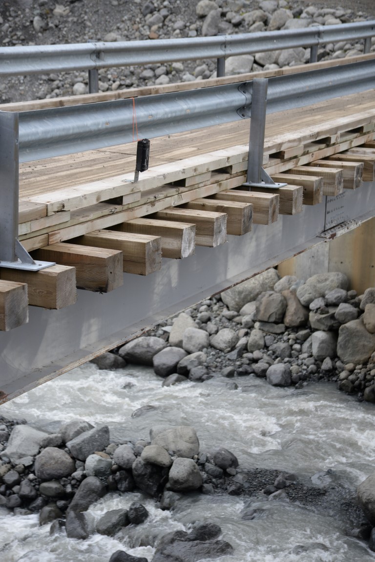
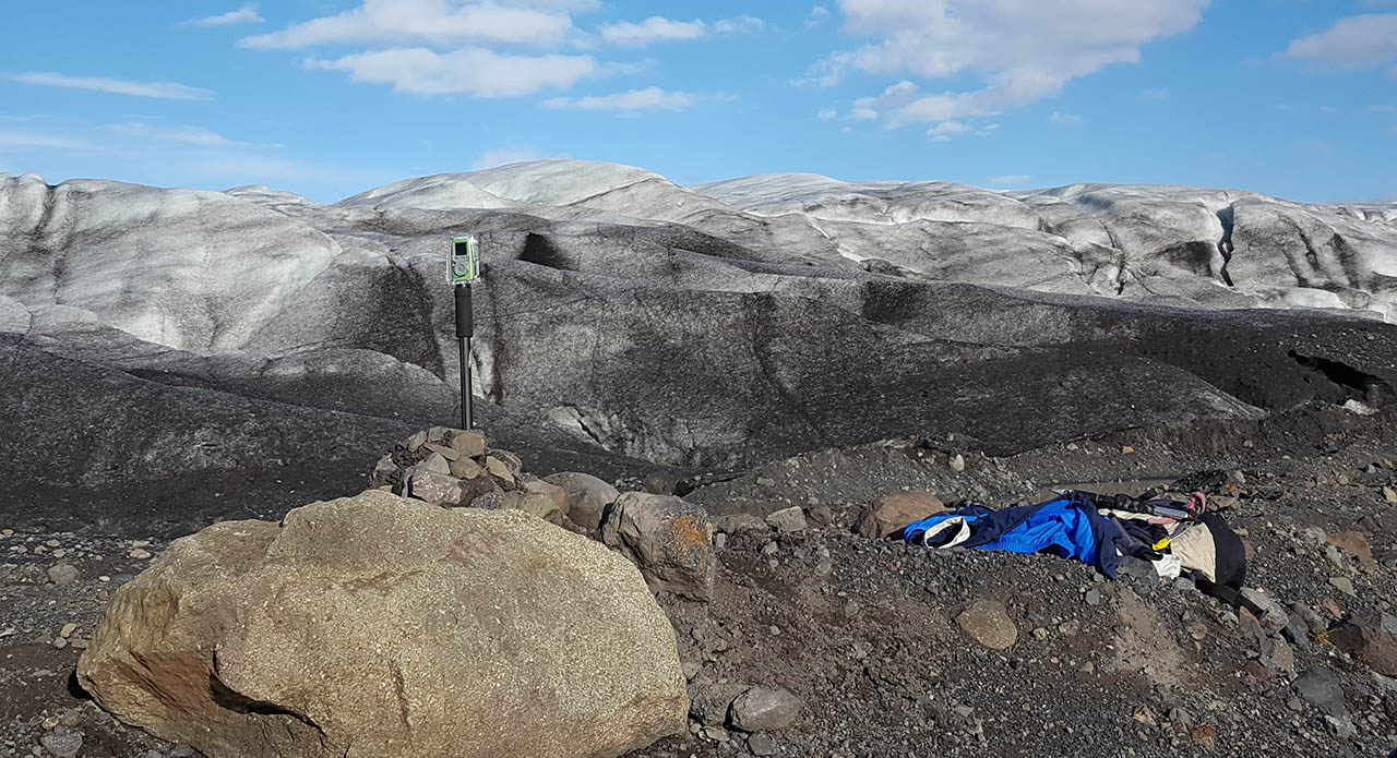
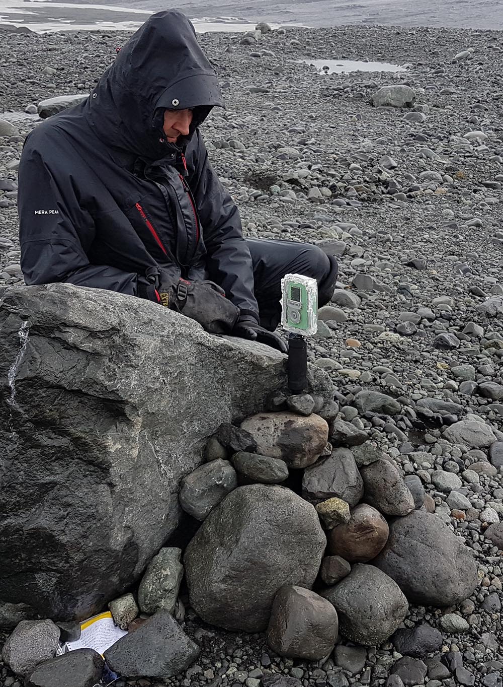
Cameras have multiple uses: observing the conditions to understand changes in readings or system performance, making direct measurements of some parameters like river flow and snow depth.
Sample timelapse/videos:
- timelapse of Fjalls ice-front over winter
- virtual flight over Fjalls foreland (generated from 3D model)

We are also using cameras on one of the outlet streams from the glacier to measure flow.
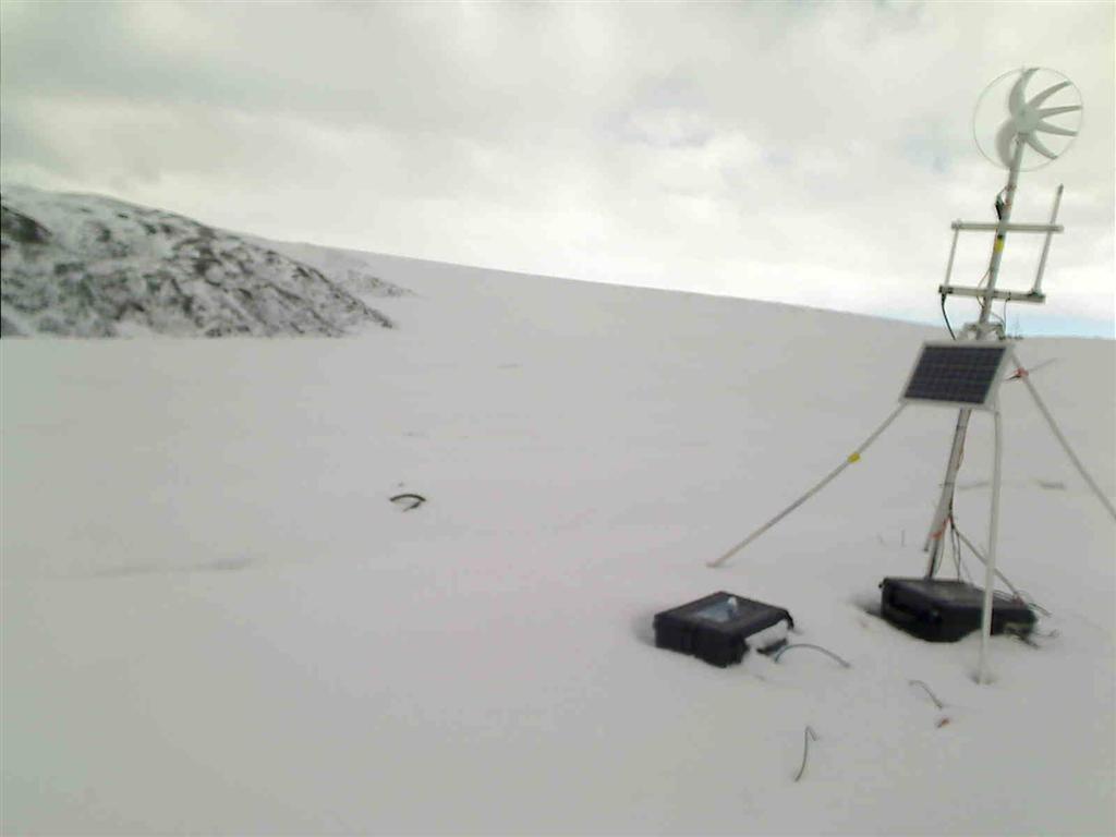
This simple camera produced an incredible winter-long view of the glacier front.
We also use a 3DR Solo Quadcopter equiped with a Mapir survey 3 camera to create 3D models of the study areas.
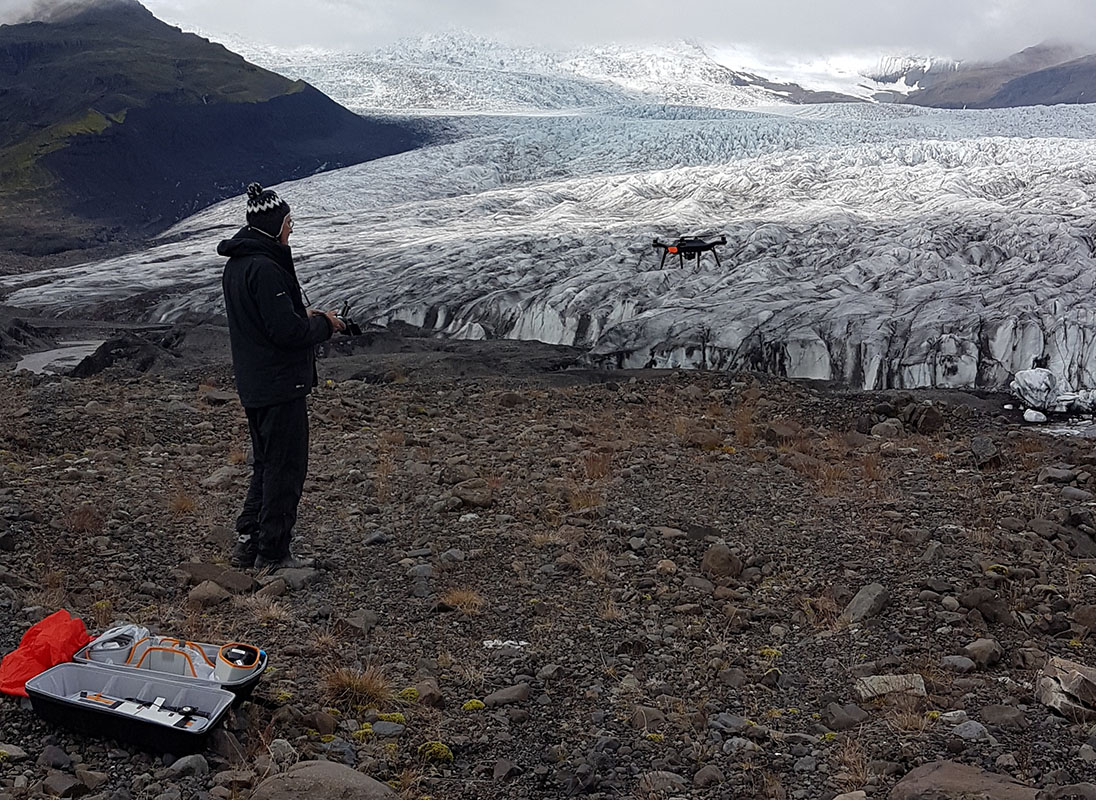
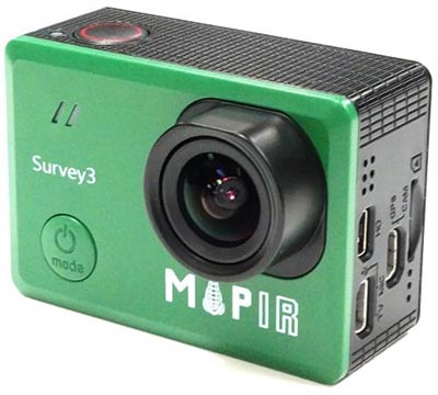
Mapir Survey 3 camera – 12 Mpixel resolution with its own GPS to geo-reference the images.
We also automatically store webcam images from vedur.is which will be used to carry out tests on automatic measurements.
See our Blog posts for more images
Pingback: Sunrise over Skálafellsjökull | Glacsweb