
In 2018 we installed two extra dGPS rovers and imaged more of Fjalls’ with our quadcopter. This would give us comparison data with 2017 and more movement data from higher on Braeda’
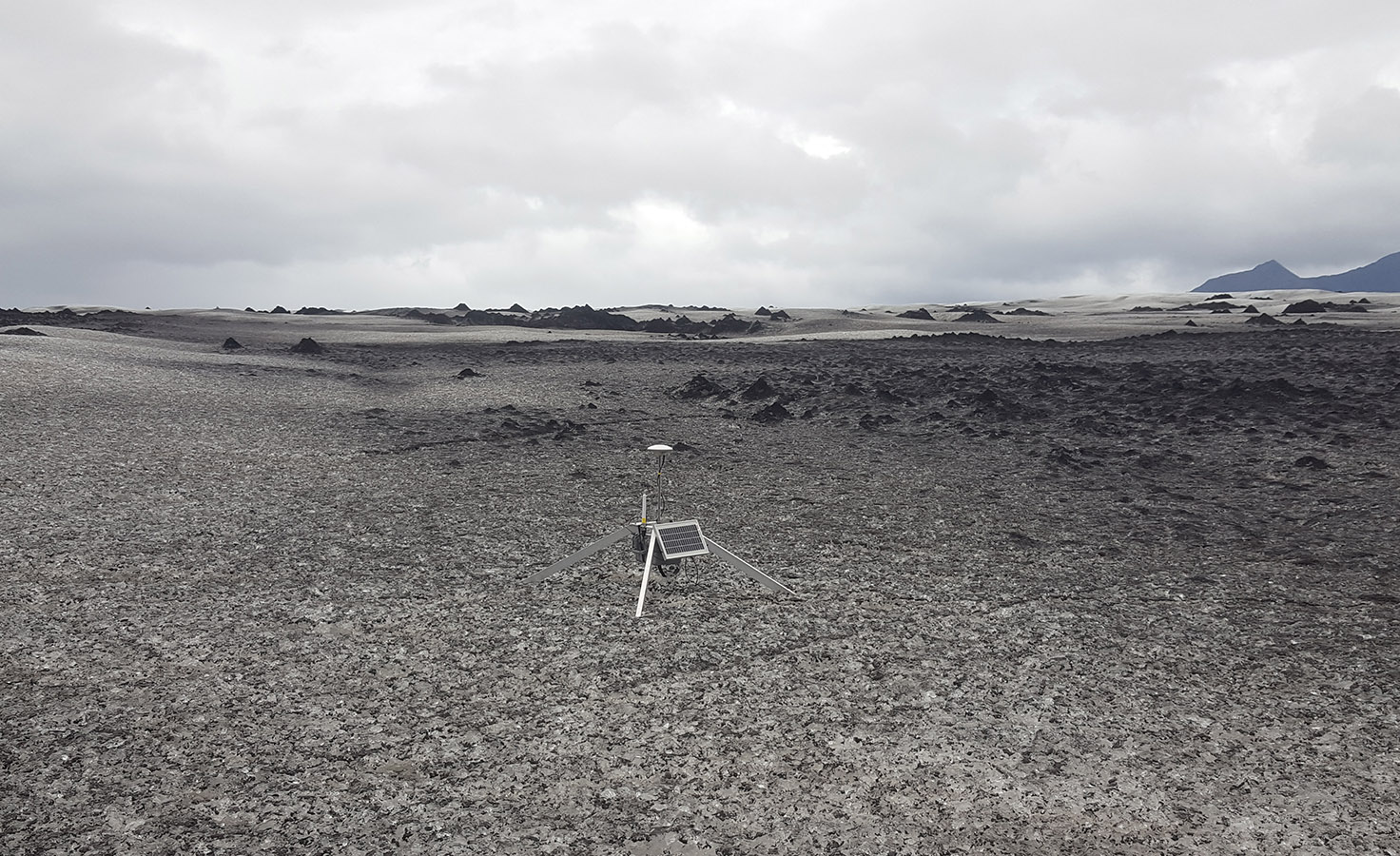
This is how we found the Fjalls rover – after the area had moved over 15m and melted out a lot. Everything was dry and undamaged.
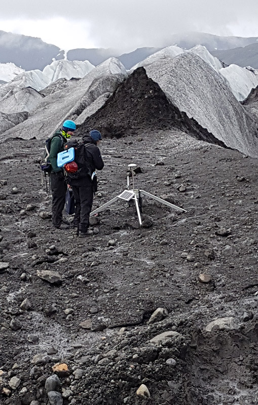
We moved the Fjalls base station up to a more interesting area so we culd place its rover higher on the glacier.
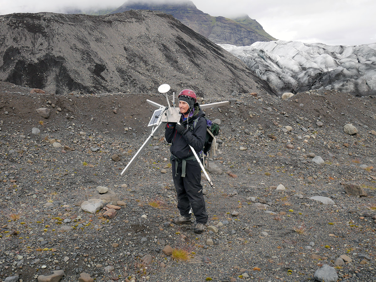
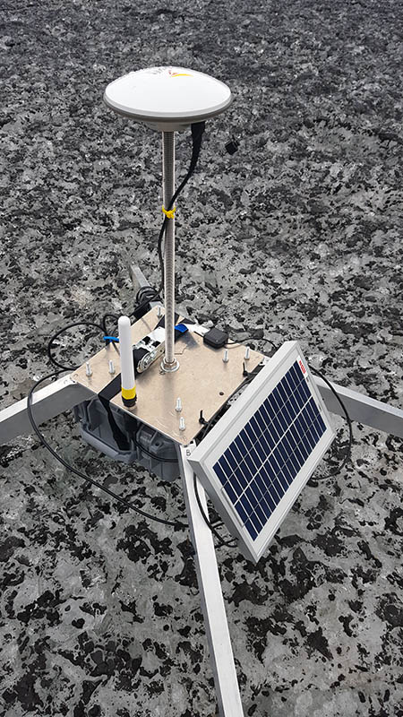
luckily the equipment is quite light! So we didn’t dismantle the quadpod to move it.
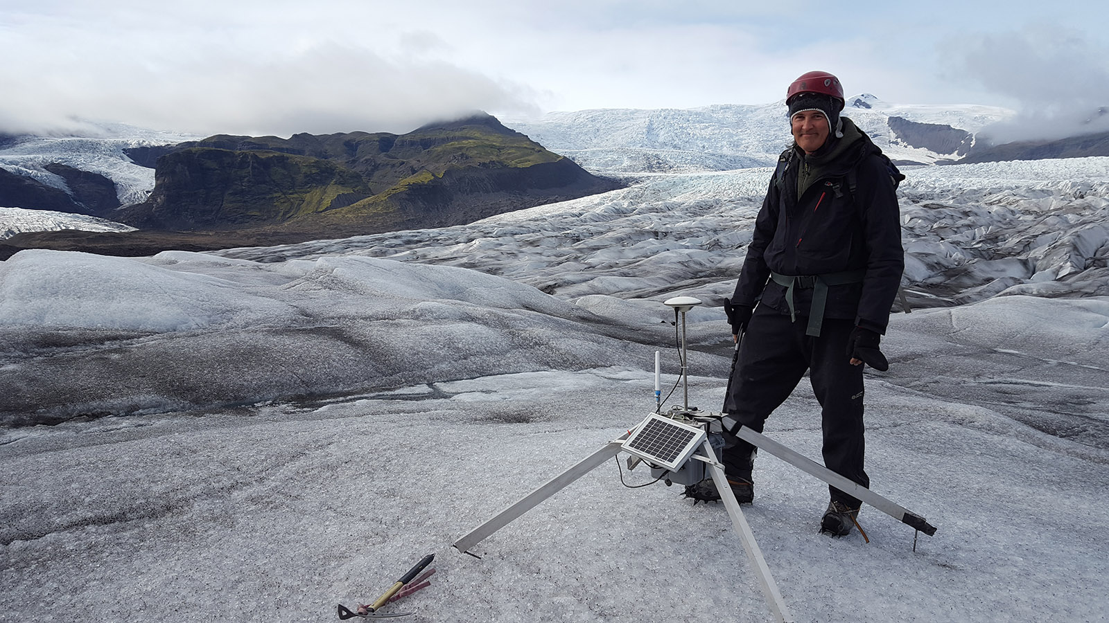
the Fjalls rover was moved up onto the main glacier, with a clear line of sight to its base station. This will give us good data on the flow away from the lake. All that was needed was a lithium battery change for the Iridium system.

The excellent results from the Brinno timelapse camera encouraged us to redeploy it to the new higher area to monitor the next winter.
We added a wide-view Brinno in a special weather-resistant case they make which has an extra 16 AA batteries. This will give us a timelapse of Fjallsarlon and the glacier front. We disguised it so much it was easy to walk by and miss it.
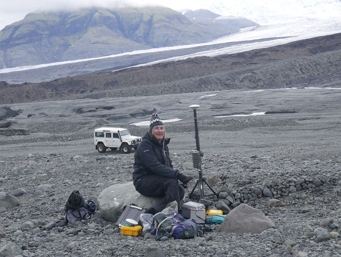
We moved the Braeda base station closer to the glacier (and a nice rock to sit on). In the background is our rented super-defender which allowed us to drive closer.
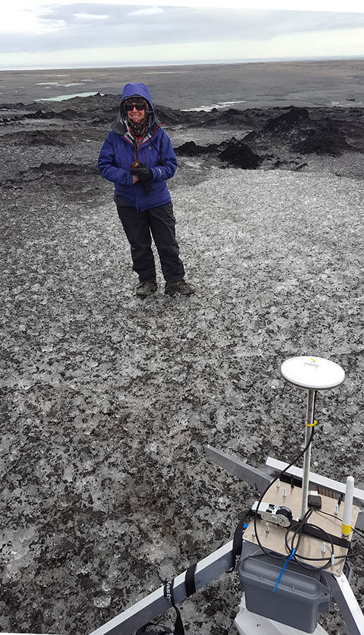
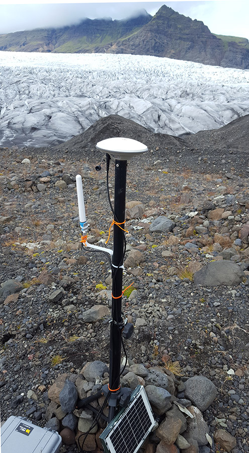
Rover3 – was placed above the debris-rich area of Braeda at 116m altitude. This shows the nicer GSM antenna (white) we used for receiving dGPS corrections. The 5W solar panels worked well last year so we used the same capacity.
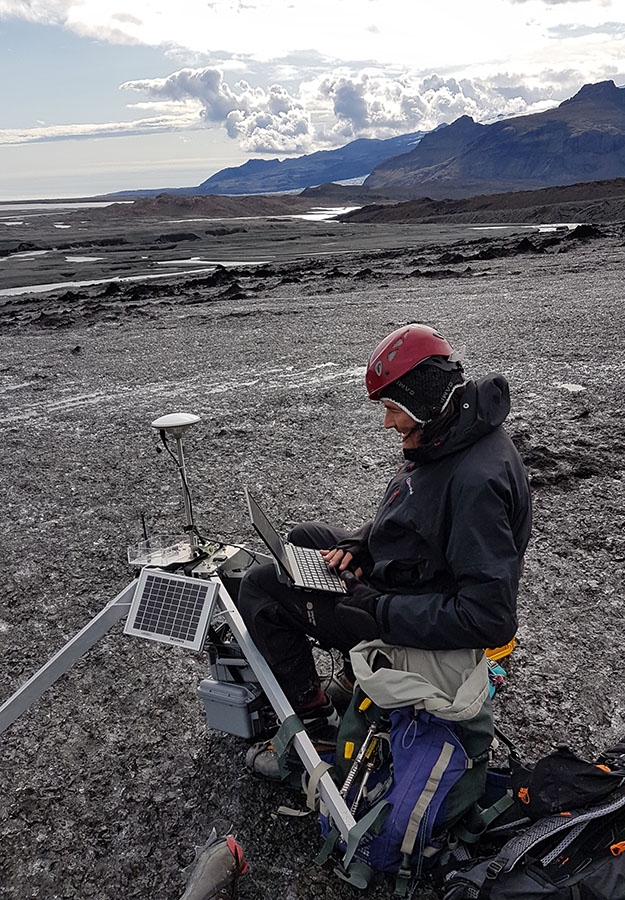
A trick we learnt for setting up in comfort was to always bring a stool to sit on!
Rover4 was placed higher up at 127m in an area with far fewer debris-cones.
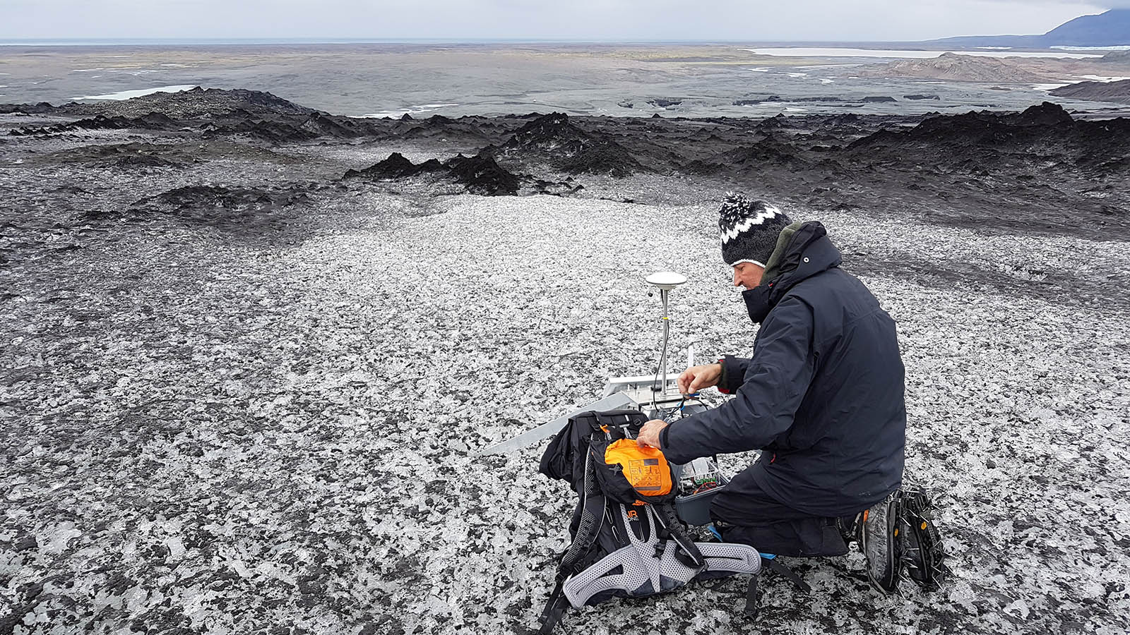
As always – doing the final tests before leaving the systems for the winter was worrying – we had some RF disconnect messages from Iridium but it seems to work OK.
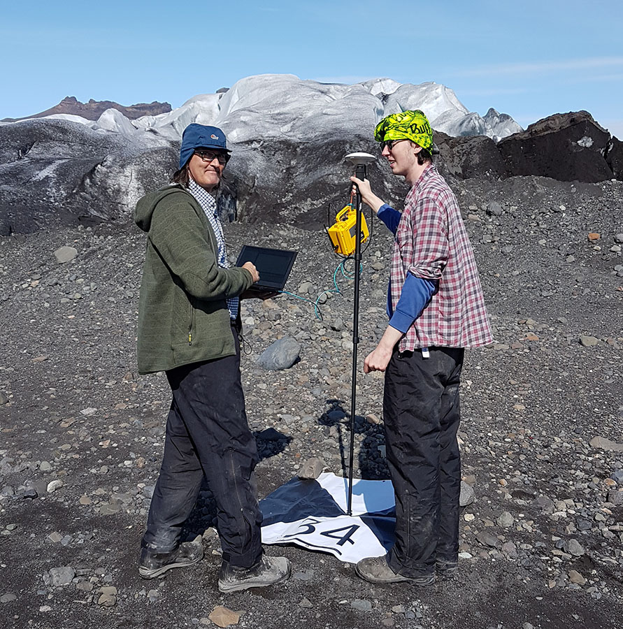
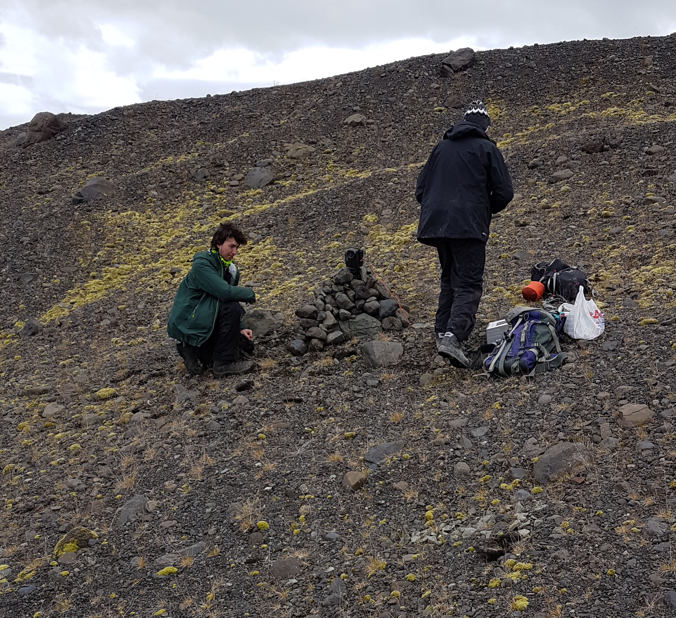
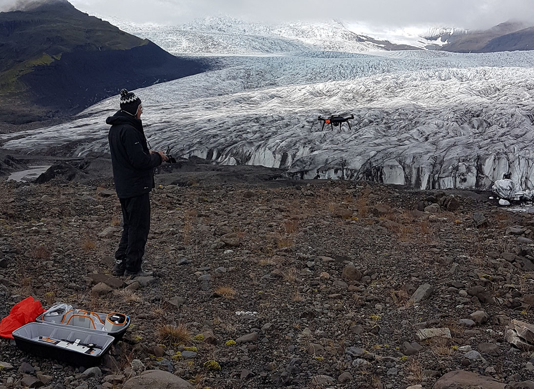
Back in Fjalls we used a miniature version of the rover (yellow peli) to precicely map the Quadcopter ground targets, We just had to turn on the normal base station.
We took 3400 images in our survey using the Mapir Survey3 camera and 3dr Solo.