Category Archives: Uncategorized
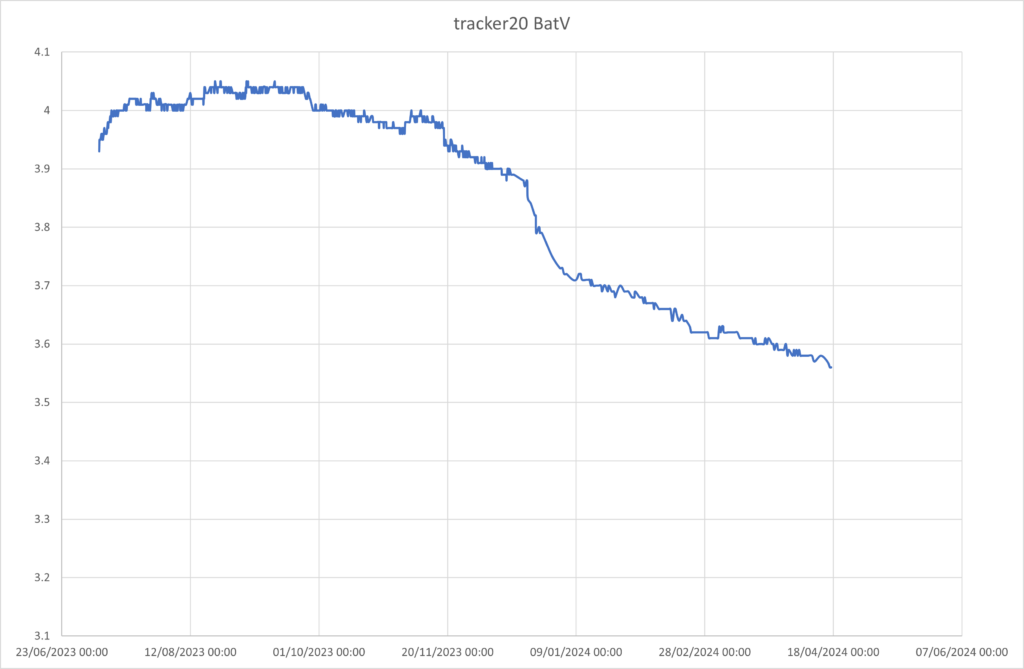
Tracker 20 mid-april2024
tracker 20 on Fjalls is still moving progressively in a straight line. It has risen in altitude too. Recent cold weather has stopped solar charging but it is still sending good data. I have deleted fix outliers as it moves less than 5cm but sometimes gets a 1m error.
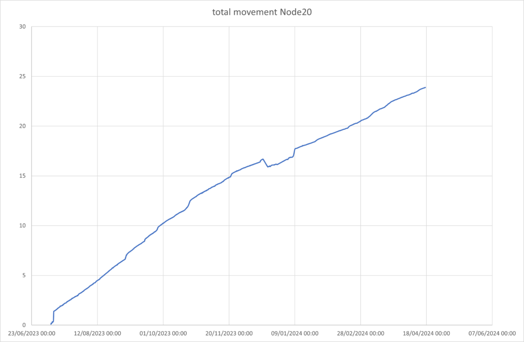
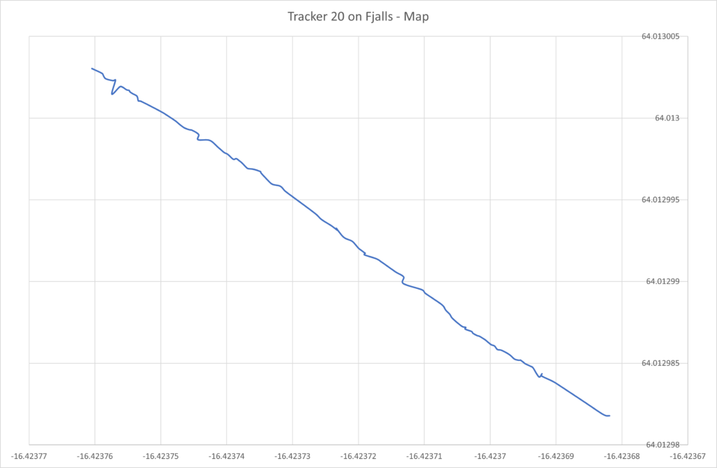
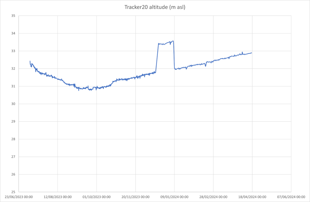
the tracker had a “glitch” in january – perhaps tilting for a short period or some GPS-related issue – hence the “step” seen in the plots in January.
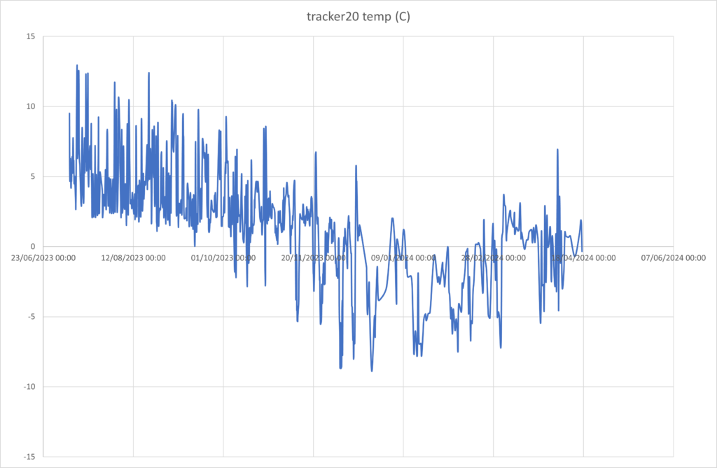
Fjalls base station is solar charging again
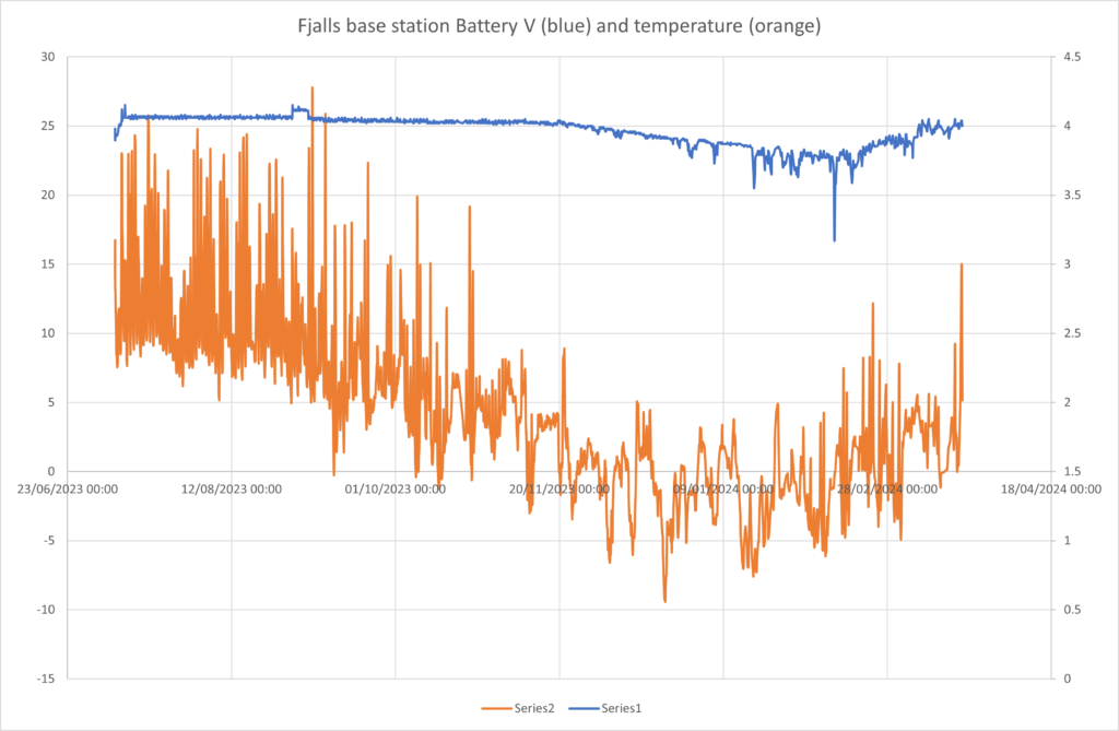
Here we can see the base station battery slowly dropping Bat Voltage during the cold winter – and when the temperatures are below zero it can not charge the battery. After mid feb the temperatures are above zero and the solar charging is working well – bringing the battery back to 100% (around 4V). This means we did the right things to make it work through winters!
IceTracker 20 current status
Looking at tracker 20 on Fjalls we can see it settling into winter – running on battery:
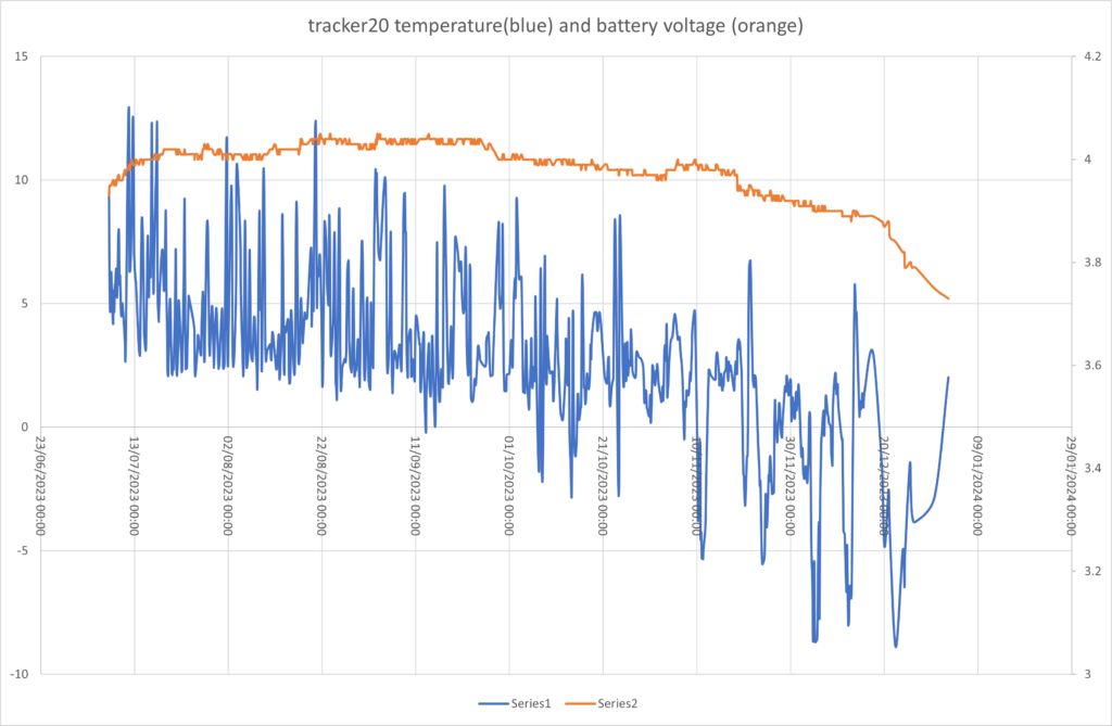
now that average temperatures are below zero the solar charging of the battery is very rare (to save the battery from charging when too cold). It also skipped a few readings in january – which is unusual behaviour – possibly due to its base station misbehaving?
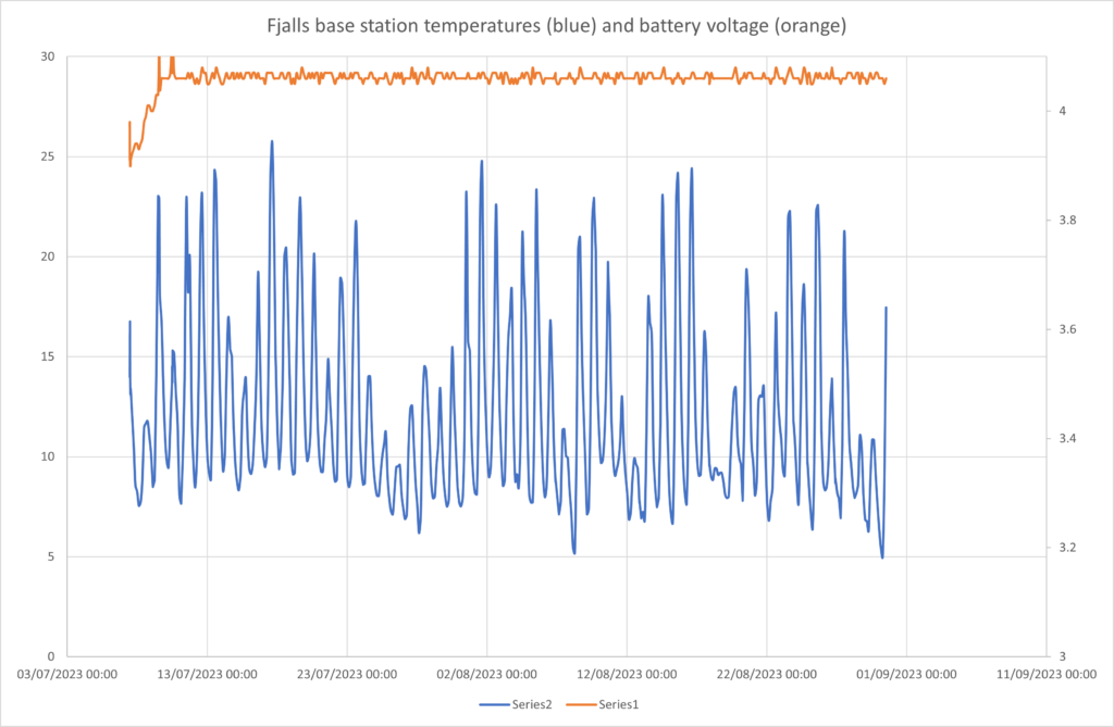
however the Fjalls base stays quite warm (especially in the sun!) so is solar charging OK.
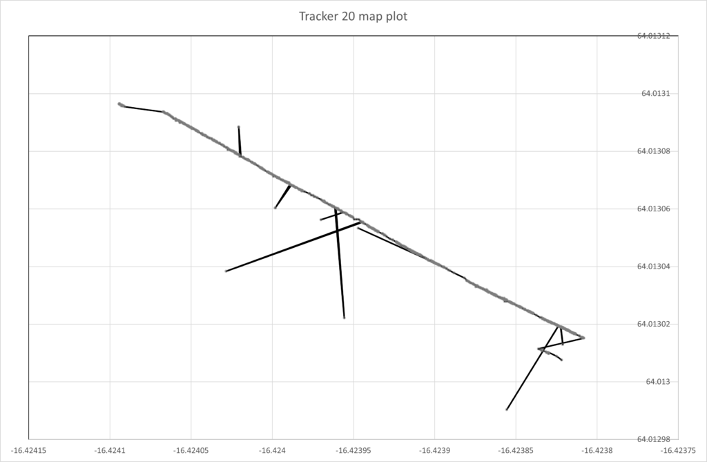
we can see from plotting lat/long that it started to have more outlier readings recently (bottom right). There is usually a very consistent plot of points.
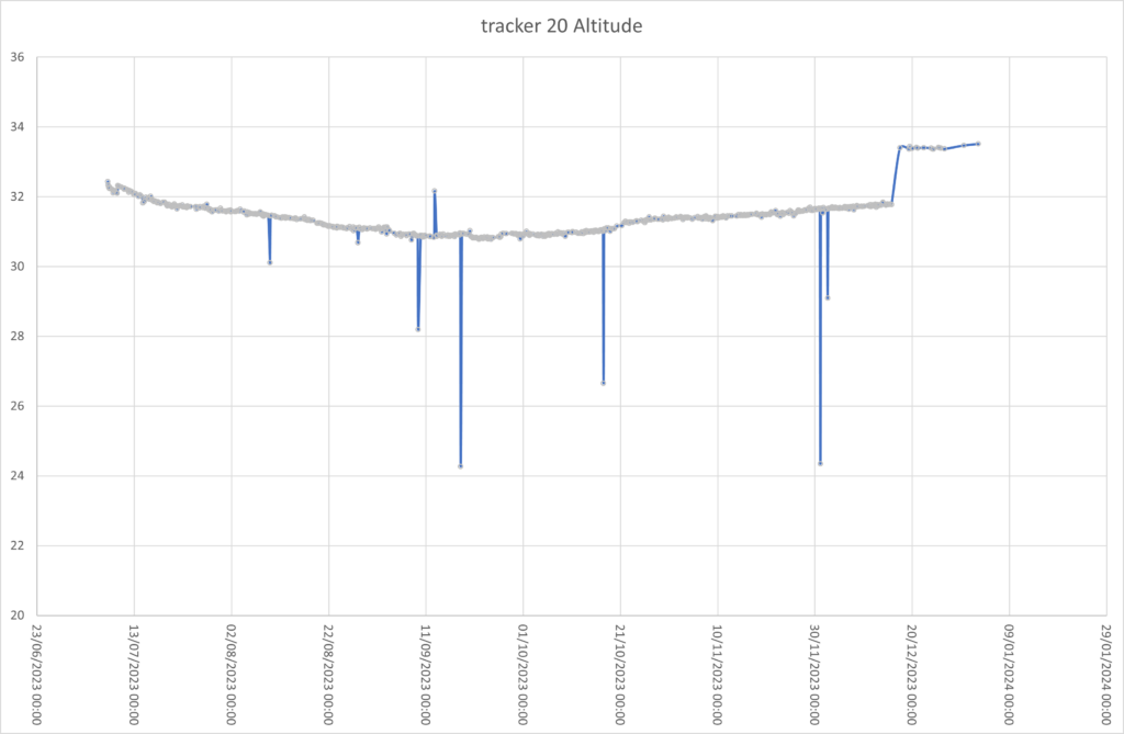
Its altitude jumped upwards in mid december! we can also see the drop due to melting before september and the gradual rise during autumn.
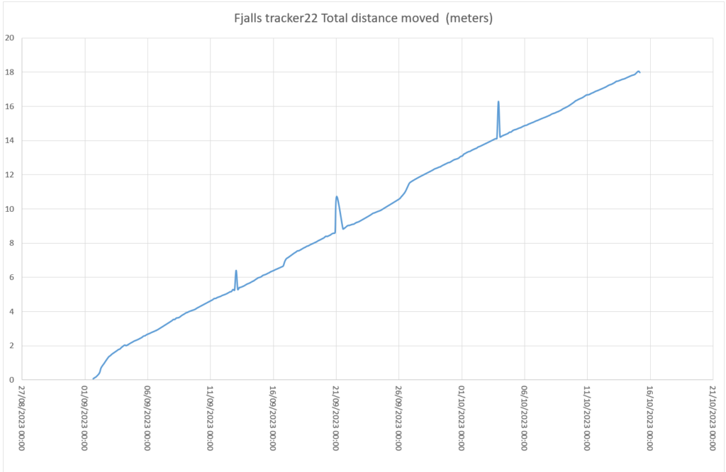
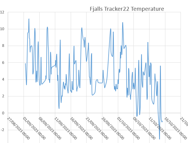
Tracker22 movement and temperatures
Tracker deployment by drone this summer
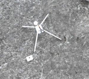
We made a quick video clip of our tracker being flown out to Fjalls and a view of it once deployed:
Old dGPS system – ten years ago!
Actually these were installed in 2012 – I just found some more photos showing out first gps ice tracker attempt. All post-processed afterwards (if data recorded!)
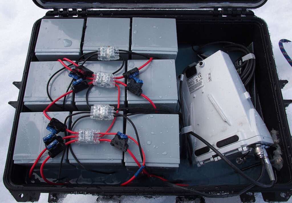
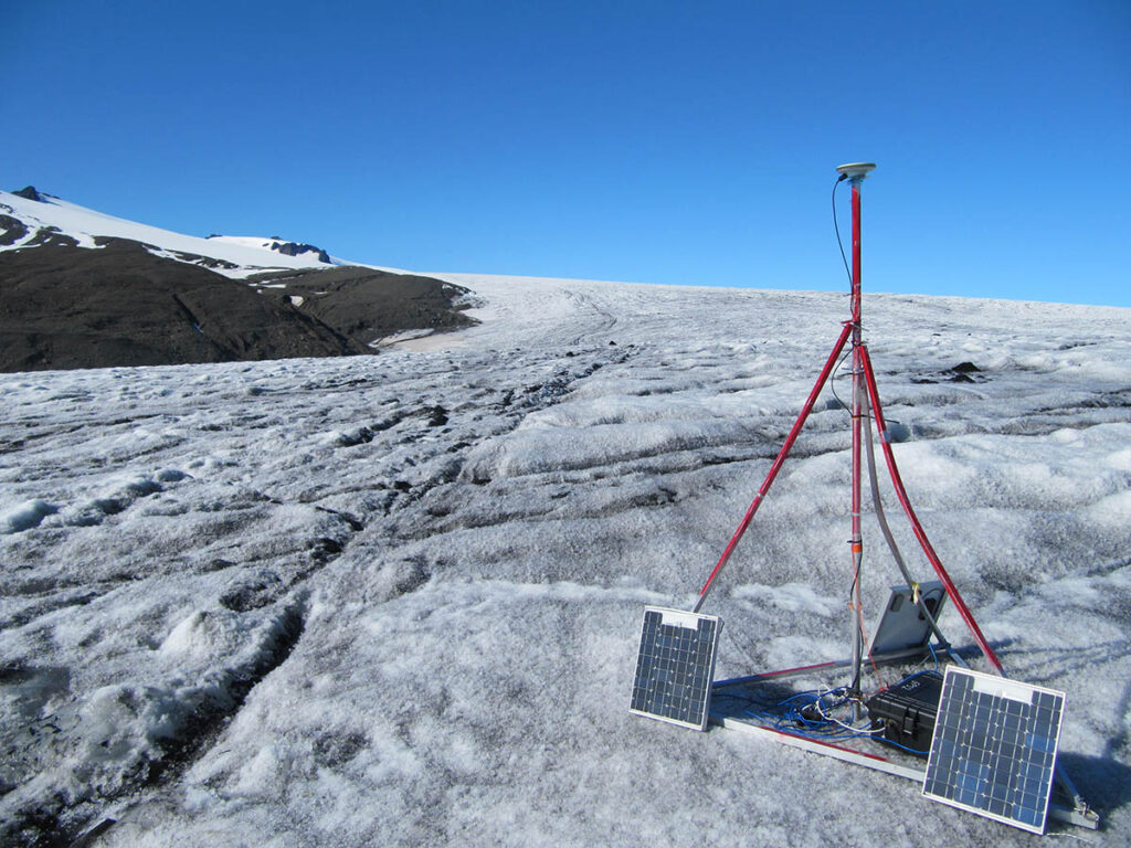
we painted the tripod red in the hope of finding it – we had to dig it out of the snow one day and it did help.. You can see the tripod bent in the snow..
update on our next generation ice tracker
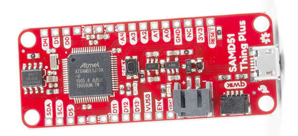
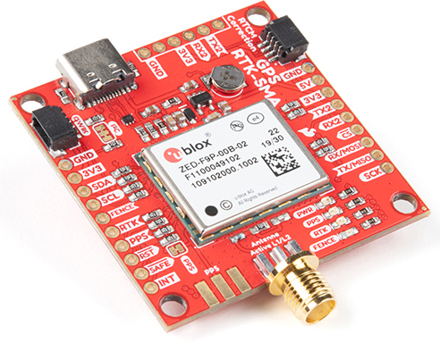
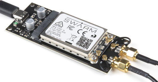
Thanks to a lot of work by students over the past year we are on track to producing our new u-blox based trackers for Iceland this summer
Inspecting with a mini drone
DJI Zenmuse P1 camera quality test
If you zoom into JPEG images from the Zenmuse P1 camera they look “damaged” so I took a view from a stationary (on a table) Matrice300 in jpg and raw. Converted the raw simply to tiff, cropped both to look at a small area in focus:
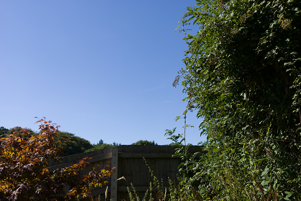
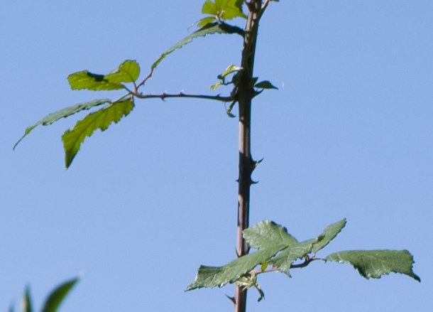
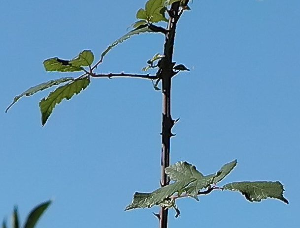
The conclusion is capture RAW only on the P1 and batch convert later. Each raw is 86MB rather than 5-7 MB (which was suspiciously compressed for such a high resolution image) so you will need 10x the SD card space/disk space.

