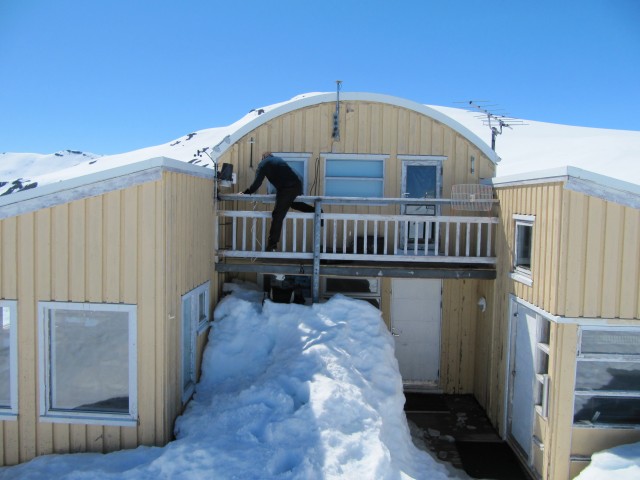
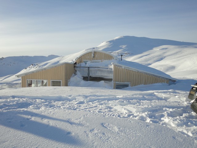
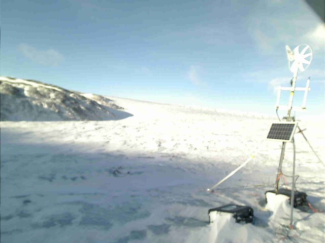
This was taken since last october (2012) and shows the incoming snow, melting etc.
Fieldwork June 2013
Winter Photo of the “reference station”
Glacsweb at EWSN 2013
Kirk and I will be presenting a poster titled “Using a heterogeneous sensor network to monitor glacial movement” at the 10th European Conference on Wireless Sensor Networks in Ghent.
Glacsweb meets openIMAJ
We have deployed a Brinno TLC100 camera to monitor the flow in the outlet river from the glacier we work on, footage from this camera can be seen in a previous blog post. However, whilst being simple to set up the output from the camera is not particularly useful for analysis. It saves the images as an avi file, which is great for the amateur timelapse market, not so good for our purposes.
In order to fix this the file was first run through ffmpeg in order to get separate jpeg files for each image. However, this then let to the problem of how to extract the time stamp from the image. Image processing is not area but fortunately the openIMAJ team is based in the same building as us. I went and had a chat to Jon Hare asking if there was anything suitable available off the shelf, unfortunately the software available did not produce good results. So Jon went away and within a few hours he had written a custom piece of software to perform the OCR for us. I then wrapped this in a python script to process a folder and automatically rename the files with the timestamp and add the relevent data to the database.
Once the script had run we had a collection of about 900 images all the the correct timestamp for the file name, and included in the database to enable us to keep track of what times we had images for.
That was the simple part – the hardest part is yet to come – working out river depth from the images we now have.
Camera node deployed
A couple of weeks ago we deployed our first prototype dedicated camera node. This node is set up to take a picture every day and store them locally. This prototype was put together quickly so doesn’t have the full range of functionality that the final versions will have.
snow starting to settle around the base station
Sample image sequence from our river-cam
Data retrieval
We’ve just got back from the September trip to the glacier to do some maintenance and generally prepare the systems for the winter. Whilst there Alex filmed us attempting (and succeeding in) getting data from the probes deployed in the summer.
Wifi Range Test
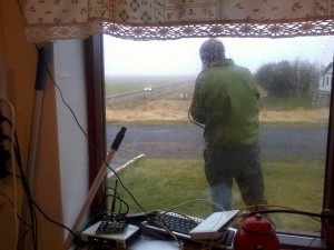
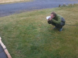
We just carried out a quick range test on our new waveguide Wifi antenna. Kirk drove the 4×4 away from the house with Phil holding an antena out the window whilst Alex aimed the directional Wifi at the car.
By the time the car was 1.3 Km it was impossible to see it from the house but we were still picking up good signal! It should be more than good enough for communicating between the Jöklasel Cafe and the glacier.


